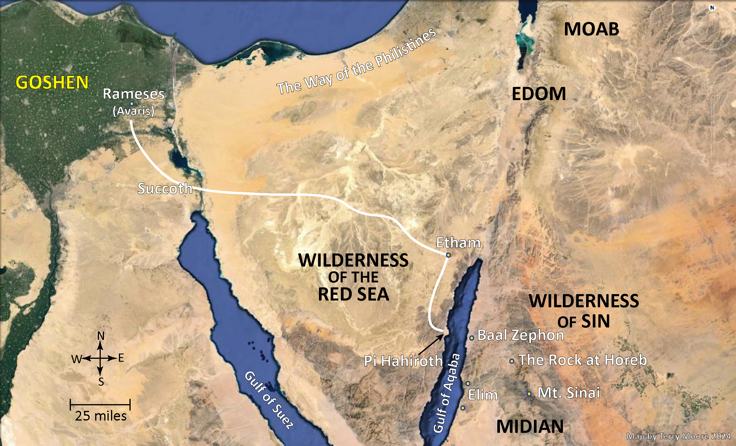
Though some dispute these locations, the following maps and charts display the route likely taken by Israel out of Egypt. Many of the the locations displayed have produced physical evidence of events that are described in the Bible. You may view some of this evidence in the archaeology section of our Reference Material. Select any of the below maps to view a larger image.
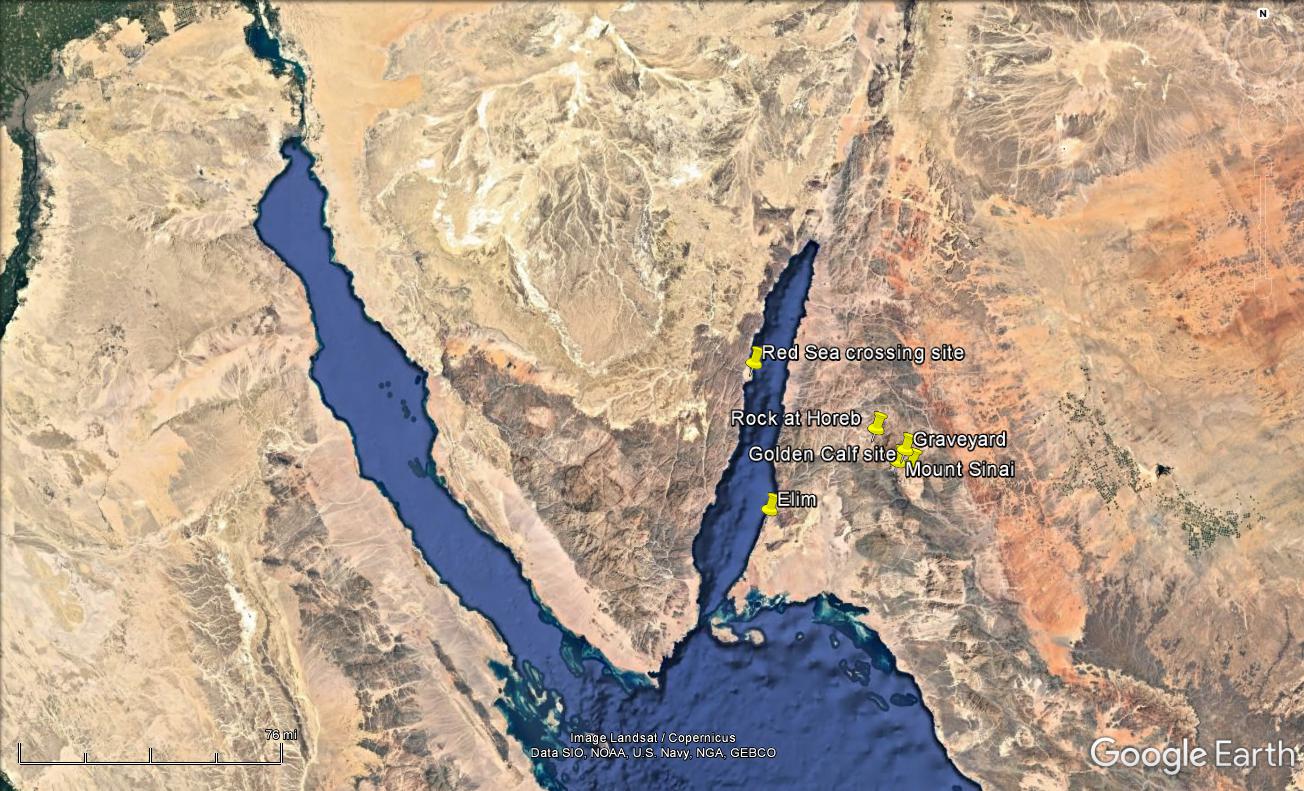
Red Sea Peninsula; the Gulf of Suez and the Gulf of Aqaba – two fingers of the Red Sea
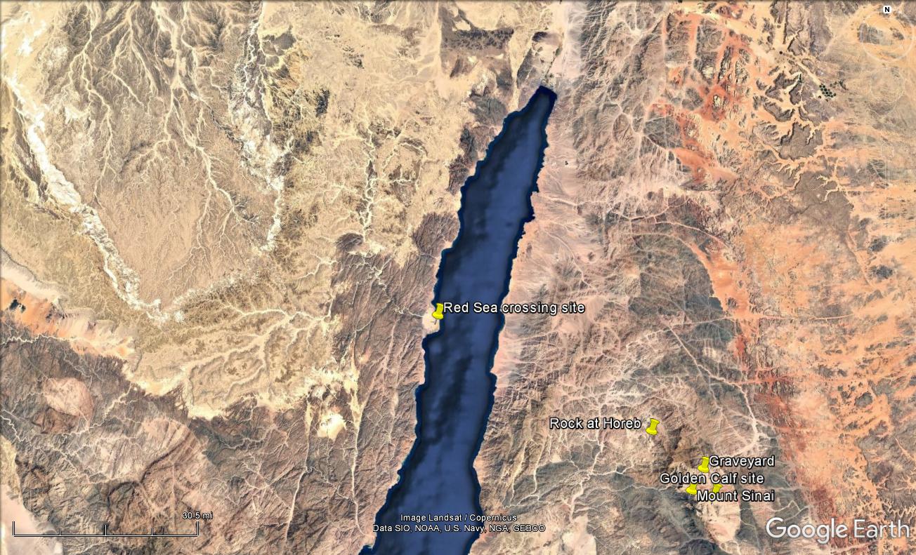
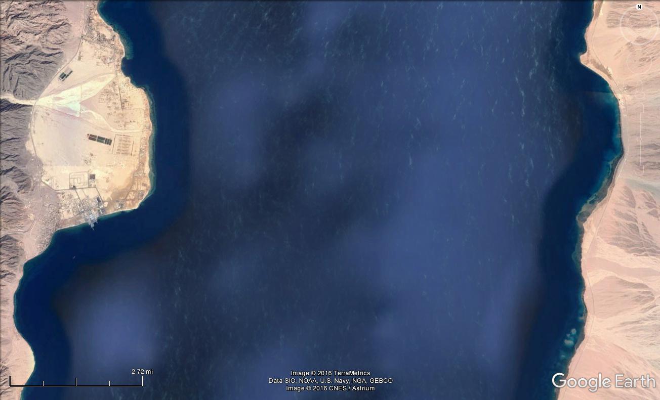
The Gulf of Aqaba
PiHahiroth means “mouth of the gorges,” and there is ravine through this mountainous area that would have appeared to “close them in” as Israel made there way to the sea (Exo. 14:1-3).
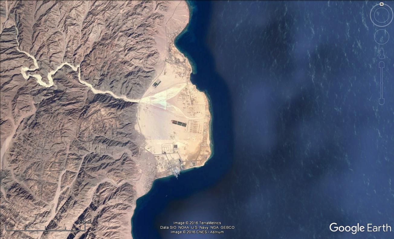
Nuweibaa – a large beachhead approximately 3 wide and 2.5 miles long. Enough room for hundreds of thousands to camp by the sea. This beachhead also may have been larger at that time, but has shrunk due to erosion.
The distance from shore to shore is approximately 8 miles.